 Promotional Banner
Riyadh –It was a pleasant afternoon when the Electronics Practitioners and Enthusiasts joined together to witnessed the 10th Technical Seminar with the subject matter on Geographical Information System that was held on Orchid Al Mansour Hotel last October 30, 2015 started at around 12 noon till 6 inthe evening.
The event was attended by 46 active officers and members coming from different fields of expertise and the only thing that made us to attend was the understanding of this very interesting topic imparted by the resource speakers Engr. Nur L. Salik, who is a Civil also Geodetic Engineer by Profession and Engr. AbderazakBoubcher who is a GIS Manager at Tech Solutions Canada, this is of course in collaboration with the President of Geodetic Engineers of the Philippines Riyadh Chapter Engr.JojoUtram, CE, GE.
Both the resource speakers introduced and explain that GIS is already implemented in the system of Saudi Arabia and to the rest of the world. They expounded that GIS is a broad term that can refer to a number of different technologies, processes, and methods. It is attached to many operations and has many applications related to engineering, planning, management, transport/logistics, insurance, telecommunications, and business.For that reason, GIS and location intelligence applications can be the foundation for many location-enabled services that rely on analysis and visualization.

Engr. Nur explained that GIS is a system designed to capture, store, manipulate, analyze, manage, and present all types of spatial or geographical data. The acronym GIS is sometimes used for geographic information science (GIScience) to refer to the academic discipline that studies geographic information systems and is a large domain within the broader academic discipline of Geoinformatics.What goes beyond a GIS is a spatial data infrastructure, a concept that has no such restrictive boundaries.

Engr. AbderazakBoubcher on the other hand explicated that GIS can relate unrelated information by using location as the key index variable. Locations or extents in the Earth space–time may be recorded as dates/times of occurrence, and x, y, and z coordinates representing, longitude, latitude, and elevation, respectively. All Earth-based spatial–temporal location and extent references should, ideally, be relatable to one another and ultimately to a “real” physical location or extent. This key characteristic of GIS has begun to open new avenues of scientific inquiry. He elaborated on the applications and the implementation of a GIS that is often driven by jurisdictional (such as a city), purpose, or application requirements. Generally, a GIS implementation may be custom-designed for an organization. Hence, a GIS deployment developed for an application, jurisdiction, enterprise, or purpose may not be necessarily interoperable or compatible with a GIS that has been developed for some other application, jurisdiction, enterprise, or purpose.
After the GIS presentation of the resource speakers, VP Education Engr. Emmanuel Yumul presented to the attendees the bid of the organization for the Best Chapter Award, he had explained that the submitted claim is the up to date summary of all the accomplishments of IECEP KSA CRCfor the year 2015. Subsequently, Candidates for the IECEP KSA CRC election were presented to the viewing members and were given the opportunity to speak and present their platforms once elected.
VP Internal Engr. Kenneth B. Vallespin used up some time to encourage all the present Licensed Electronics Engineer to apply for PECE and ASEAN Engineer upgrade, he explained the important documentation procedures and requirements in order to comply and agreed on a series of meeting at Dr. Café Khurais Road to check on the status of the each aspirants credentials.
Afterwards, the individual and group pictures were taken as a souvenir of the occasion.
 [espro-slider id=3794]
 2015 Successful IECEP-KSA-CRC ASEAN Engineers
  Congratulations! Engr. Anthony Castrojo – PMP Certified
  IECEP MIDCON 2023: 73rd National Midyear Convention (Industry Tour)
  Life Membership Application for IECEP-KSA-CRC
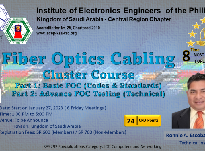
  Registration – Fiber Opics Cabling Cluster Course